Wildlife360: understanding wildlife, informing action

Wildlife360: understanding wildlife, informing action

Community

Data Integration / GIS / Information Architecture / Community Intelligence

Solutions

A flexible wildlife reporting and analytics platform for conservation, transportation, parks, utilities, and natural resource organizations.

A flexible wildlife reporting and analytics platform for conservation, transportation, parks, utilities, and natural resource organizations.

Product Overview

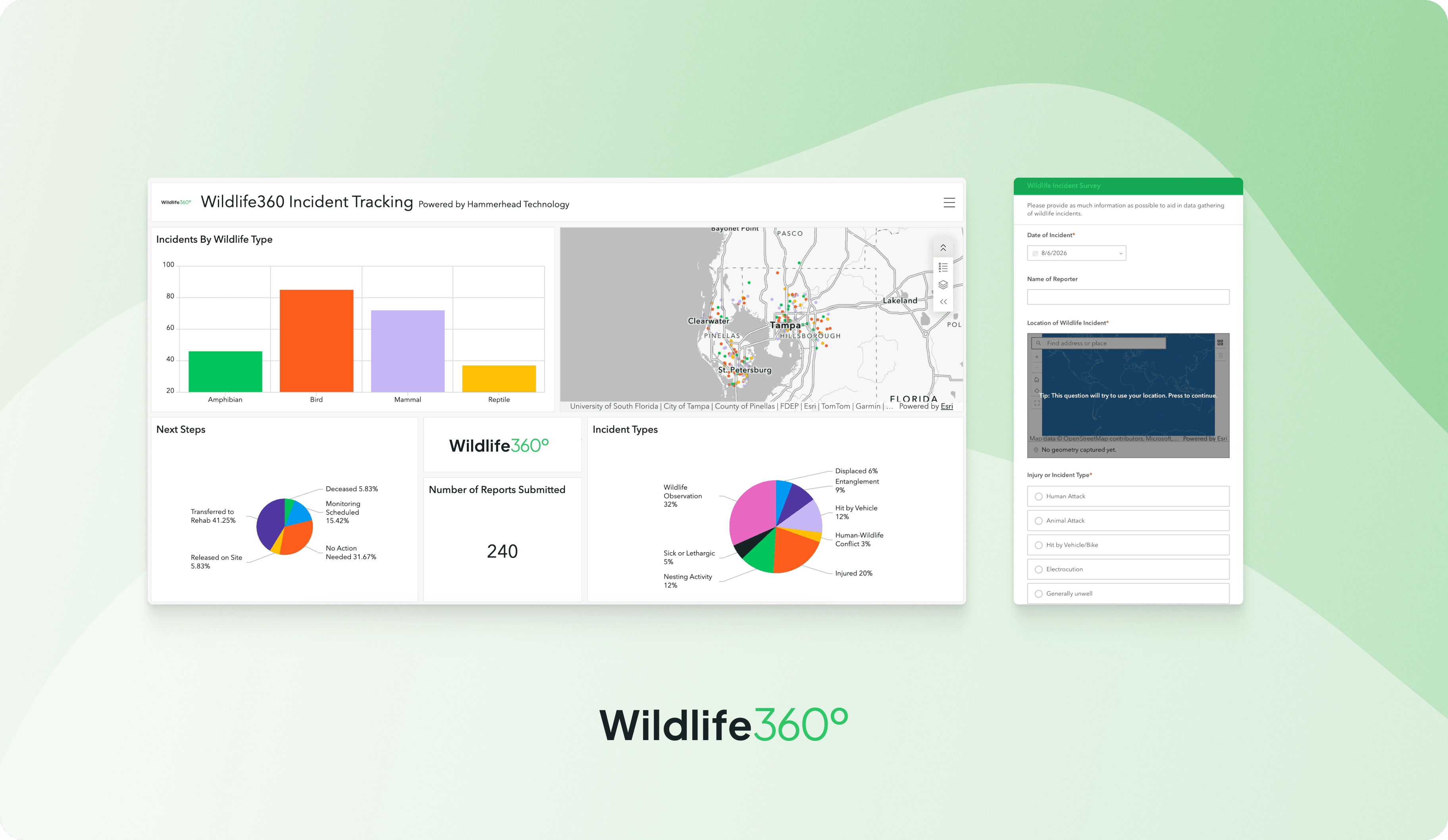
Wildlife360 helps organizations collect, manage, and visualize wildlife observations and incidents in one centralized platform.

Whether you’re documenting wildlife-vehicle collisions, road crossings, electrocutions, human-wildlife conflict, invasive species, nesting activity, or general wildlife observations, Wildlife360 transforms field data into meaningful insights that support better decision-making.

Built on GIS technology and designed to work across desktop and mobile devices, Wildlife360 helps organizations identify trends, prioritize conservation efforts, and communicate results with stakeholders and the public.

How it works

How it works

Collect. Understand. Act.

Record observations

Collect wildlife data in the field using mobile-friendly forms, GPS locations, photos, and standardized reporting workflows.

Collect wildlife data in the field using mobile-friendly forms, GPS locations, photos, and standardized reporting workflows.

Visualize patterns

Interactive dashboards and maps reveal hotspots, seasonal trends, species distributions, and other key insights.

Interactive dashboards and maps reveal hotspots, seasonal trends, species distributions, and other key insights.

Support better decisions

Use real-time information to guide conservation planning, transportation projects, mitigation efforts, research, and community engagement.

Use real-time information to guide conservation planning, transportation projects, mitigation efforts, research, and community engagement.

Record observations

Collect wildlife data in the field using mobile-friendly forms, GPS locations, photos, and standardized reporting workflows.

Visualize patterns

Interactive dashboards and maps reveal hotspots, seasonal trends, species distributions, and other key insights.

Support better decisions

Use real-time information to guide conservation planning, transportation projects, mitigation efforts, research, and community engagement.

Features & Benefits

Flexible reporting: Configure forms and workflows for virtually any wildlife monitoring project.

GIS-powered mapping: Visualize observations, hotspots, migration corridors, and incident locations.

Interactive dashboards: Explore trends by species, location, season, or custom metrics.

Mobile data collection: Capture information directly from the field.

Public and private views: Share the right information with staff, partners, or the public.

Scalable platform: Expand across projects, departments, or regions as your program grows.

Customizable: Tailored to your organization’s goals, branding, and reporting needs.

Common Applications

Common Applications

Wildlife360 can support projects including:

Wildlife-vehicle collision monitoring

Wildlife-vehicle collision monitoring

Wildlife crossing effectiveness

Wildlife crossing effectiveness

Wildlife-vehicle collision monitoring

Wildlife crossing effectiveness

Road ecology studies

Road ecology studies

Wildlife mortality reporting

Wildlife mortality reporting

Road ecology studies

Wildlife mortality reporting

Utility electrocution monitoring

Utility electrocution monitoring

Human-wildlife conflict reporting

Human-wildlife conflict reporting

Utility electrocution monitoring

Human-wildlife conflict reporting

Invasive species management

Invasive species management

Nesting and breeding surveys

Nesting and breeding surveys

Species observations and biodiversity monitoring

Species observations and biodiversity monitoring

Community science initiatives

Community science initiatives

Outcome

Wildlife360 brings wildlife data together in one place, making it easier to understand what’s happening on the landscape and turn observations into action.

Whether you’re managing a local conservation project, evaluating transportation impacts, monitoring protected areas, or engaging your community, Wildlife360 helps transform wildlife data into meaningful decisions.